The Ri-Bhoi District was upgraded from the sub-divisional level on 14th June 1992. It has an area of 2,448 sq. km and a population of 2,55,840 (2011 Census), out of which 2,33,587 is in the rural areas . Rice is the main food grain grown in the district. The district also has immense potentiality for the development of horticulture. The variation of altitude, soil and climatic conditions provide ample scope from growing fruits ranging from Sub -Tropical to temperate varieties. Ri-Bhoi District is divided into 3(Three) Blocks with a total of 635 villages.
Particulars
|
Details
|
|
Total Geographical area
|
2,448 sq. km
|
|
Total population (no)
a.) Male
b.) Female
|
2,55,840
1,32,531
1,26,309
|
|
Rural
|
2,33,587
|
|
Urban
|
25,253
|
|
Scheduled Tribe
|
2,30,081
|
|
Scheduled caste
|
590
|
|
Sex ratio(Female per 1000 Male)
|
953
|
|
Density (Per sq. km)
|
106
|
|
Working population Cultivators
|
55,833
|
|
Agricultural labourers
|
19,989
|
|
Workers in household industry
|
1,676
|
|
Other workers
|
28,975
|
|
Marginal Workers
|
15,598
|
|
Non-workers
|
1,52,367
|
|
Literacy (%)
|
75.70
|
|
Total no of villages
|
635
|
|
Total blocks
|
3
|
|
Total households (Family no.)
|
46,688
|
|
Land use Statistics
|
|
Net Area sown
|
19,219
|
|
Area Sown More Than Once
|
2,475
|
|
Total cropped area (ha)
|
21,694
|
|
Persons engaged in agriculture (no)
|
68,217
|
|
Total cropped area (ha)
|
21,953
|
|
Area under double crops (ha)
|
2802
|
Major Farming Systems existing in the District based on the study made by the KVK are:
|
No
|
Farming systems identified
|
|
1
2
3
4
5
|
Agri + Horti+ AH+ Fishery
Agri+ Horti+ AH
Agri+ Horti
Agri + Seri + Horti + AH
Agri + Horti + AH + Seri
Enterprises:
- Agri – Paddy, Maize
- Horti – Tomato, Ginger, Turmeric, Cabbage, cauliflower, chilies, strawberry, flowers like gerbera, anthurium
- AH & Vety – Poultry, Pig, Rabbit
- Fishery – Cage culture,
- Seri – Mulberry silk worm
|
Description of Agro-climatic Zone (based on soil and topography)
|
No
|
Agro-climatic Zone
|
Characteristics
|
|
1
|
Subtropical hill zone
|
400-1200 mm MSL, Temperature: 32ºC-12ºC
All area of Ri - Bhoi district except southern part
|
|
2
|
Mild tropical hill zone
|
200 - 800 mm MSL, Temperature: 30 - 12ºC
Southern part of district
|
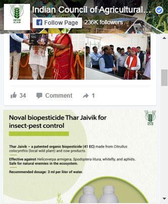
Find Us Here: